On Saturday, 21st of May 2016, together with the Mountain Club of South Africa (Paarl/Wellington Section), I hiked the longest route in the Kogelberg Nature Reserve. Â The reserve is on the left as you drive from Betty’s Bay to Kleimond. Â The entrance to the reserve is on the left just before you cross the Palmiet river. Â From Cape Town, it is about one and a half hour drive to get there.
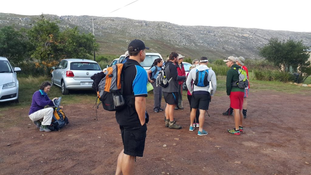
I met up with 13 other hikers from the club and at 8:30am we started our hike. Â Below is a map of the route we took and when we finish back at where we started at about 4pm, Runkeeper showed a distance of 23.27km covered with an elevation from 53m at the start and finish and 523m at the highest point – se elevation map below the route map.

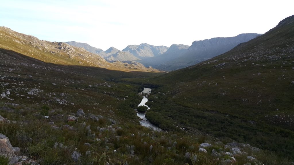
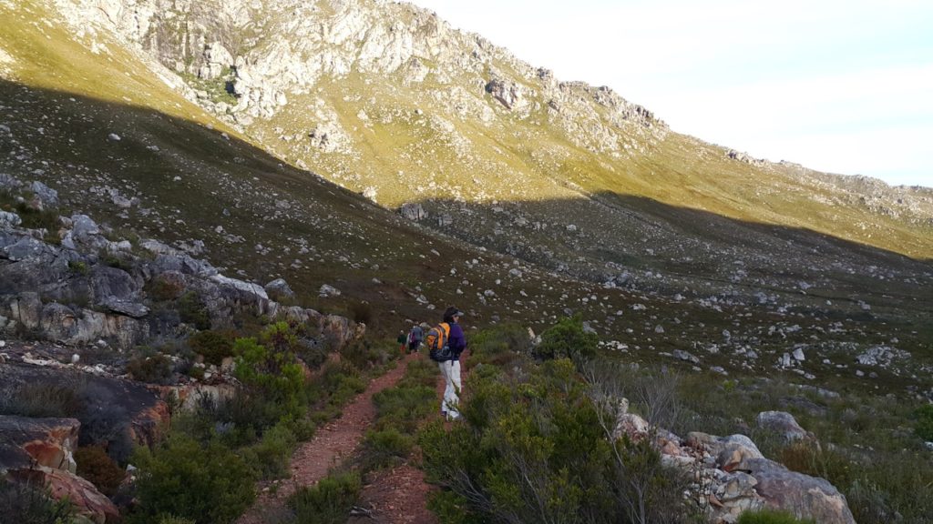
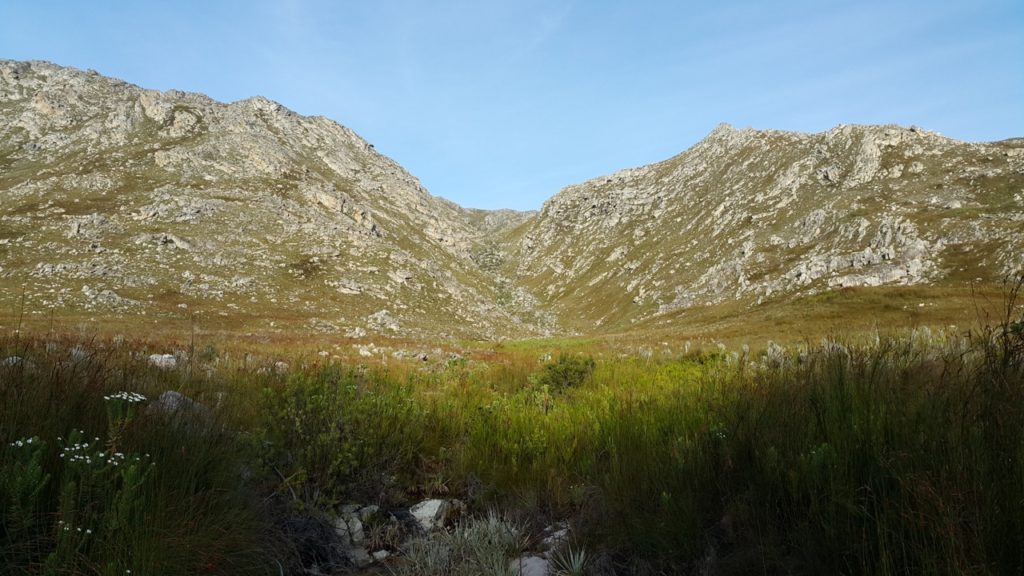
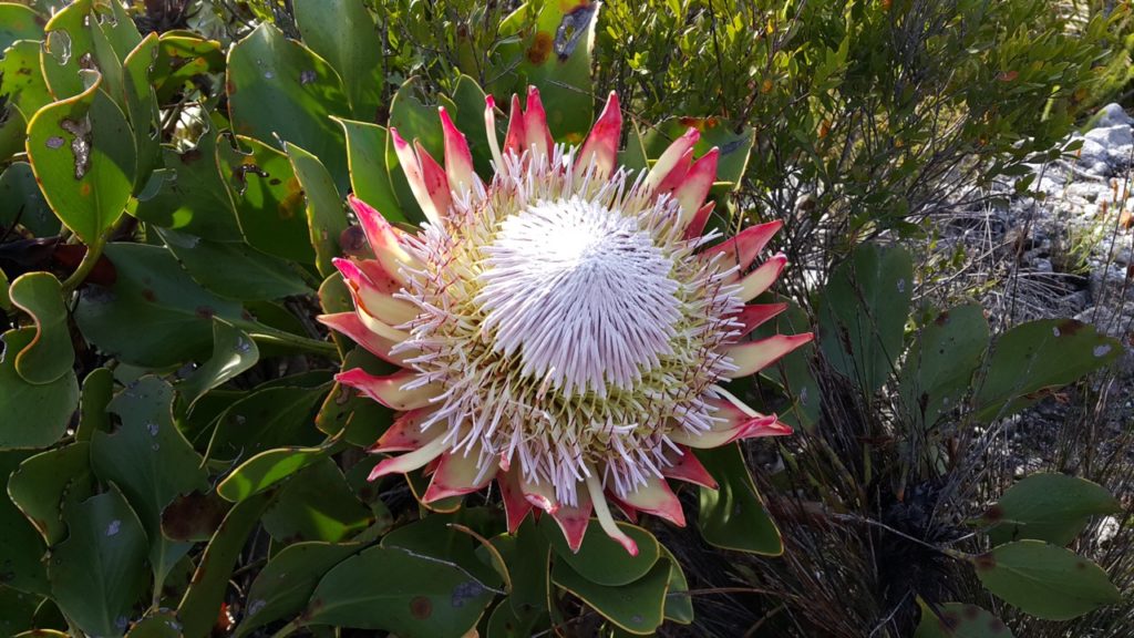
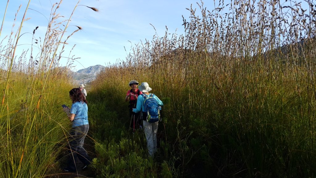
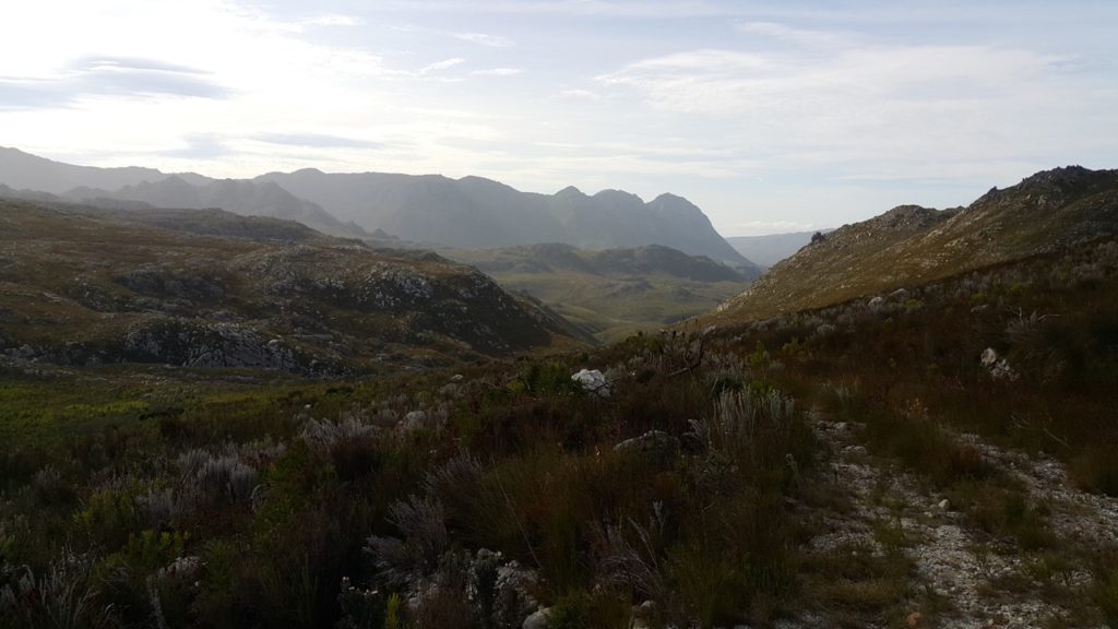
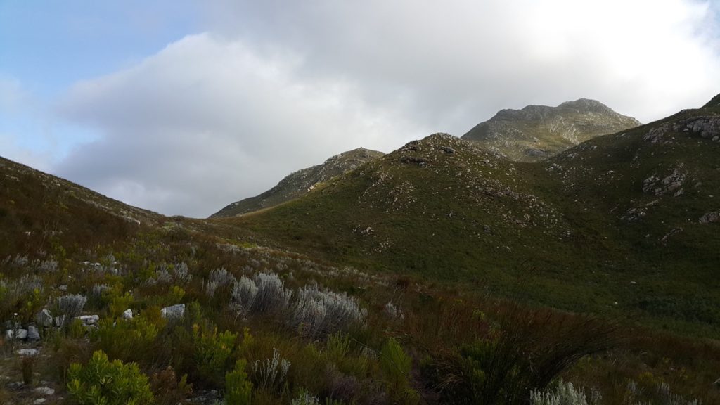
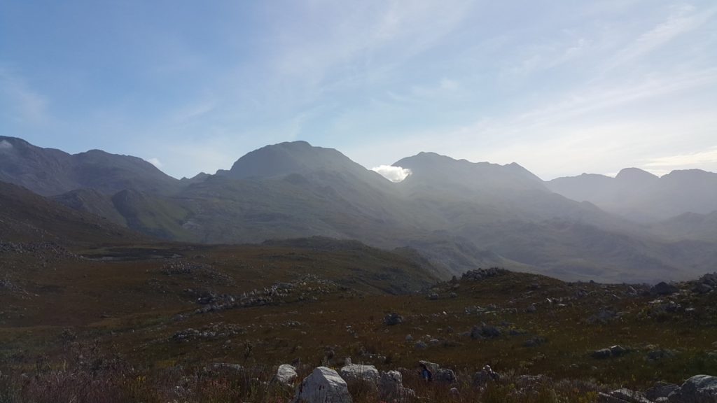
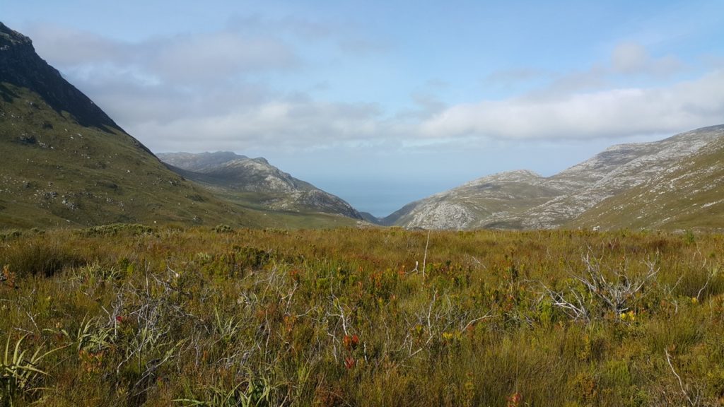
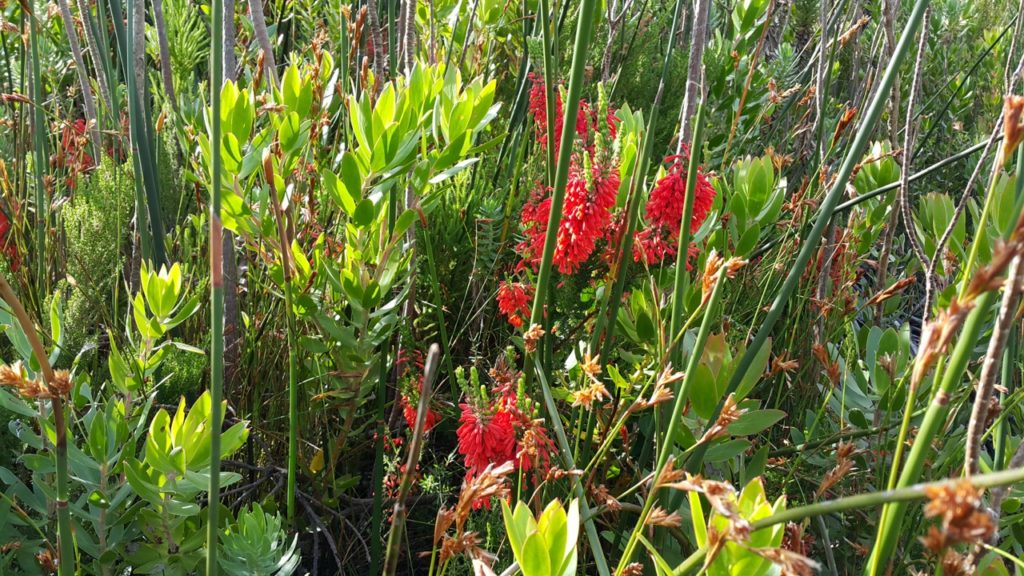
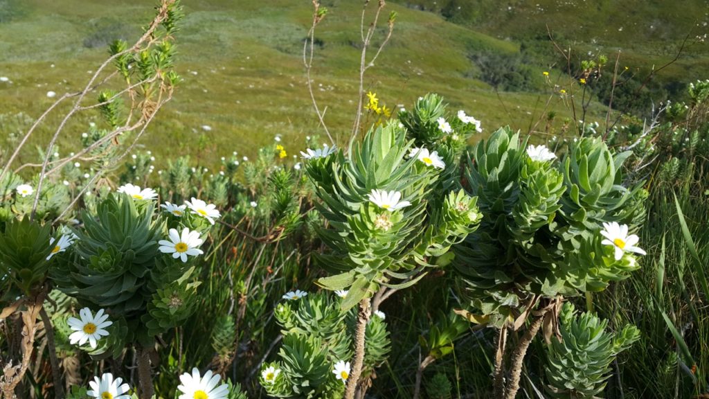
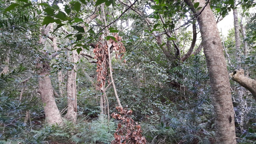
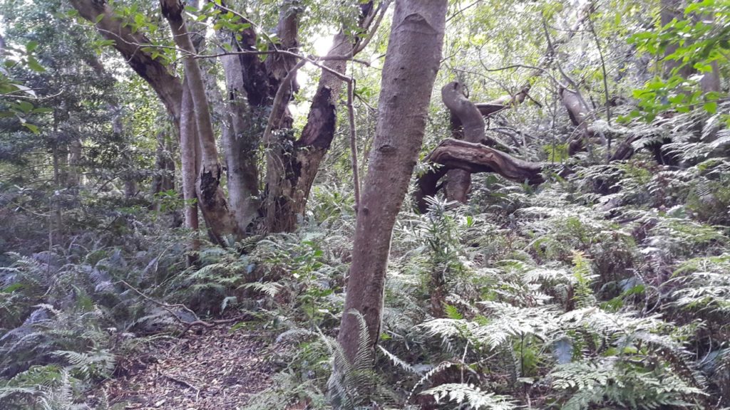
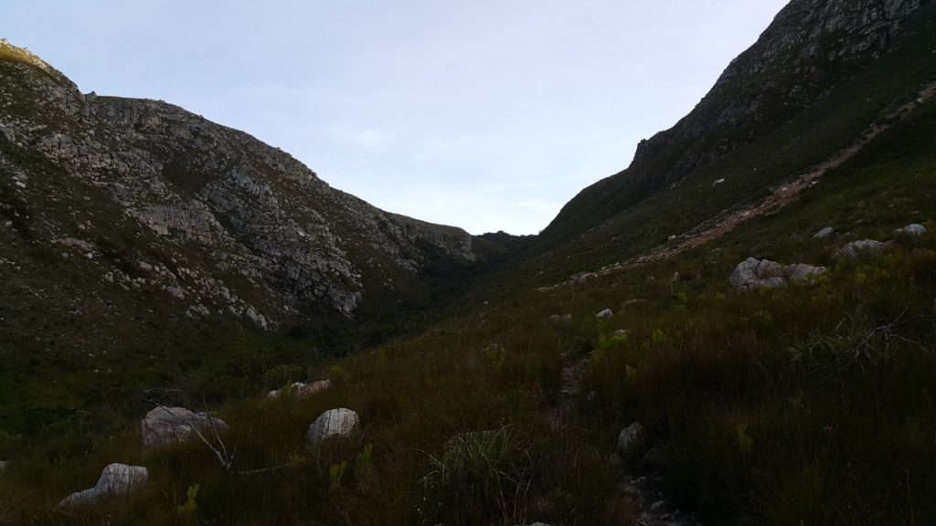
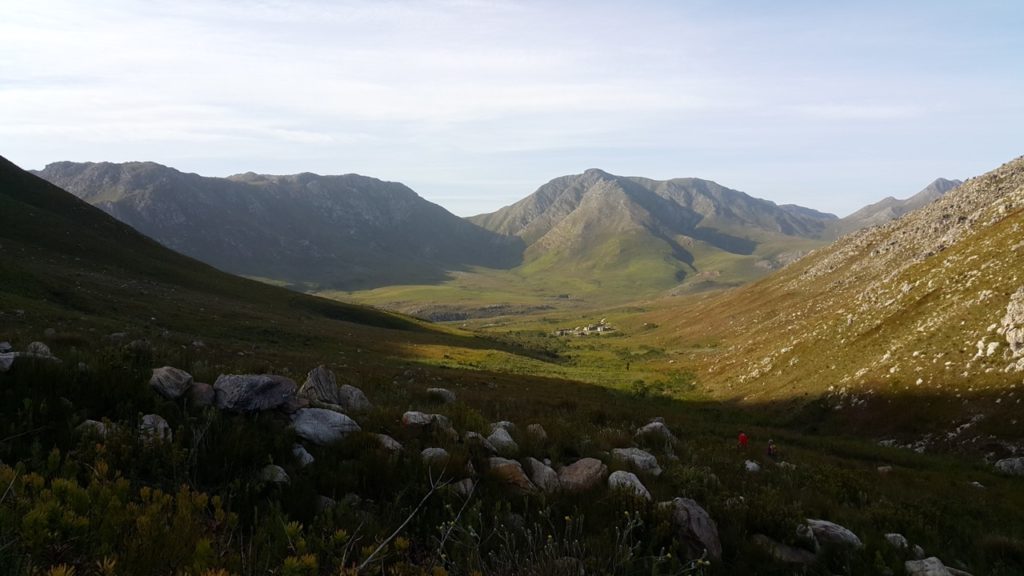
It is a fairly easy hike with steady uphill to the highest point and then a quicker decent down the ravine and forrest. Â But since it is so long, almost 24km, it take its toll and is not for the fainthearted and although there are lots of streams with fresh flowing drinking water, ensure you carry enough water also. The veld is mostly fynbos and open areas as can be seen from the photo gallery below. The mountain vistas is just amazing and we were even lucky to see a King Protea in bloom, rare for this time of the year.
Photo Gallery:
